
Erskine Ferry
Latitude: 55° 55'N
Longitude: 04° 28'W
Country: Scotland
Website: www.sabre-roads.org.uk/wi...kine_Ferry
About Erskine Ferry
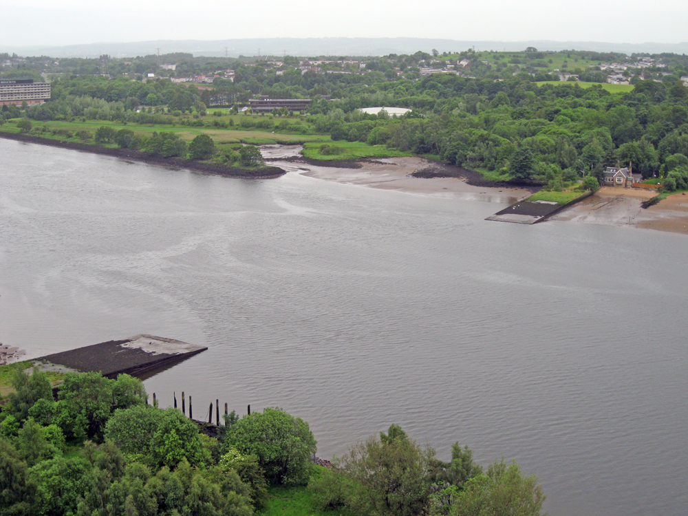
The River Clyde at Erskine was once shallow enough to cross on foot until the 18th century when it was deepened to allow large ships to sail to Glasgow. The Clyde Navigation Trust acquired the Erskine Ferry in 1911 and added a vehicle ferry boat to the old passenger service from Erskine (in Renfrewshire) to Old Kilpatrick (in West Dunbartonshire). The ferry service closed down in 1971 when the newly built Erskine Bridge opened.The above view is from the bridge, looking upstream. Beyond the slipway on the far (southern) bank is the former Erskine Harbour, now deeply silted up.
Return to Former Harbours Map