
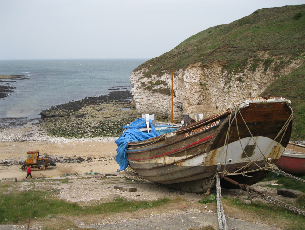
Flamborough Landing
Latitude: 54° 07'N
Longitude: 00° 07'W
Country: England
Ownership: Flamborough North Sea Landing Harbour Commissioners
Type: Trust
Usage: Fishing
About Flamborough Landing
For centuries the fishermen of Flamborough have kept their cobles in North and South Landings. These small craft are still used for catching fish, crabs and lobsters. The Vikings probably gave Flamborough its name as Flam is a Norse word for a spit or tongue of land jutting into the sea.Many of the villagers of Flamborough have earned a reputation for bravery for their exploits on Lifeboat duty. The Lifeboat house is still there but the lifeboat is now launched from the South Landing
Flamborough Head was defined as a Heritage Coast by the Countryside Commission and the local authorities concerned in October 1979. In October 1982 the Flamborough Headland Heritage Coast Project was launched to promote and encourage interest in the area.
Return to Area Map