
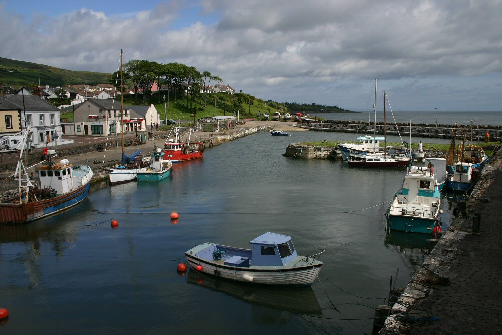
Carnlough
Latitude: 54° 59'N
Longitude: 05° 59'W
Country: N. Ireland
Ownership: Larne Borough Council
Type: Municipal
Usage: Leisure, Fishing
Contact name: Tom McKnight, Harbour Master
Telephone no: 07703 606763
About Carnlough
The harbour was built by the Marchioness of Londonderry around 1850. Limestone was exported from here until 1945 when the nearby Glencloy quarries closed. The Eglinton Lime Company of Glenarm used the harbour for several years until the late 1950s, when silting became a problem.The harbour today offers moorings for leisure and small fishing craft.
Return to Area Map