
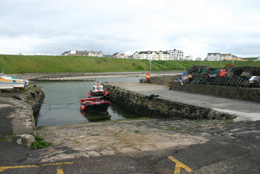
Portballintrae
Latitude: 55° 13'N
Longitude: 06° 30'W
Country: N. Ireland
Ownership: Coleraine Borough Council
Type: Municipal
Usage: Leisure, Fishing
Contact name: Alex Carmichael
Address: Cloonavin, 66 Portstewart Road, Coleraine, BT52 1EY
Telephone no: 028 7034 7234
E-mail: info@colerainebc.gov.uk
Website: www.colerainebc.gov.uk/show.php?id=248
About Portballintrae
Portballintrae is situated at the mouth of the River Bush in County Antrim, adjacent to the Giant's Causeway. This small sheltered harbour is home port to several local fishermen. In 1967/68 artefacts excavated from the wreck of the Girona from the Spanish Armada were brought ashore here.Return to Area Map