
Ardelve
Latitude: 57° 17'N
Longitude: 05° 32'W
Country: Scotland
Ownership: The Highland Council
Type: Municipal
Usage: Fishing
Contact name: Kyle Harbourmaster
Telephone no: 01599 534167
About Ardelve
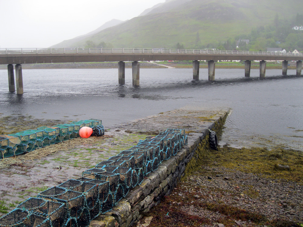
The Aird or Dornie ferry operated from Ardelve across the entrance to Loch Long to Dornie, and also across Loch Duich to Totaig, at least until the beginning of the 20th century. In the final year of operation the ferry ran from 8 am to 8 pm daily, including Sundays and Bank holidays. The ferry was replaced by a bridge, now carrying the A87.The jetty is now used by local fishing vessels.
Return to Area Map