
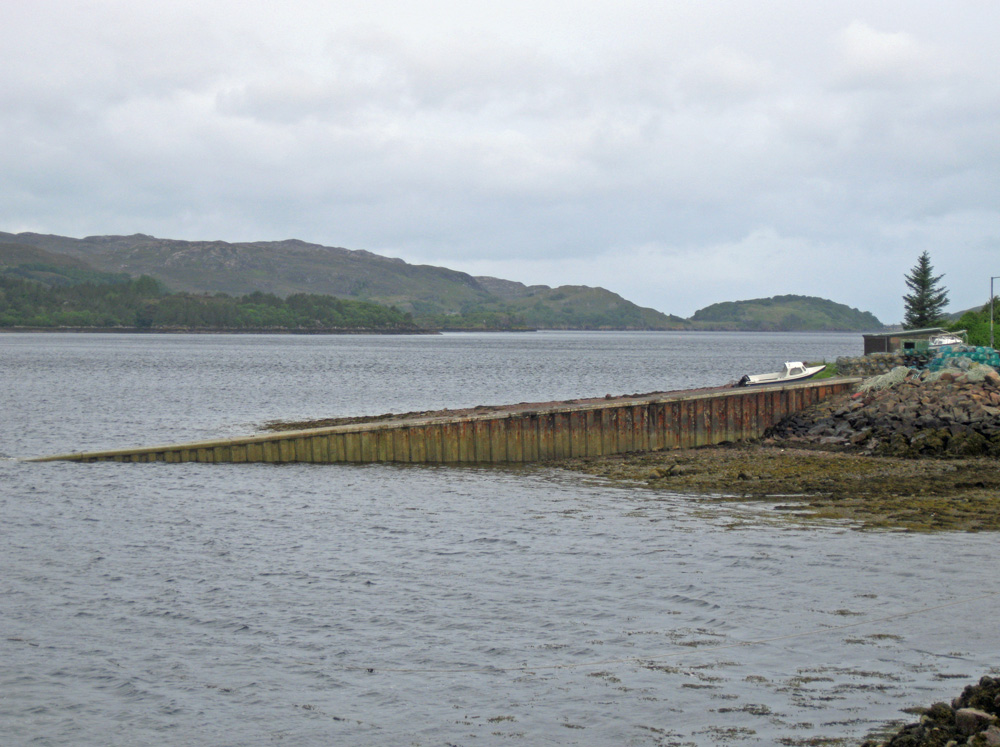
Shieldaig
Latitude: 57° 31'N
Longitude: 05° 40'W
Country: Scotland
Ownership: Highland Council
Type: Municipal
Usage: Fishing
Contact name: Mr Neil Simpson, Marine Superintendent
Telephone no: 01571 844806
About Shieldaig
Shieldaig, on the edge of Loch Shieldaig, an offshoot of Loch Torridon, was established in 1800. Its purpose was to attract families to take up fishing for a living; and, to help build up a stock of trained seamen who could be called upon by the Royal Navy during the Napoleonic Wars.People were attracted to the area by the offer of grants from the Admiralty to support housing and boat-building, and Shieldaig flourished. After Napoleon's demise in 1815 the official support disappeared. But Loch Shieldaig and the surrounding waters had been famed for their herring since the days of the Vikings, and the village's continuing prosperity was for many years based on the success of its fishing fleet. Prawn fishing remains a main employment for the Shieldaig villagers.
Return to Area Map