
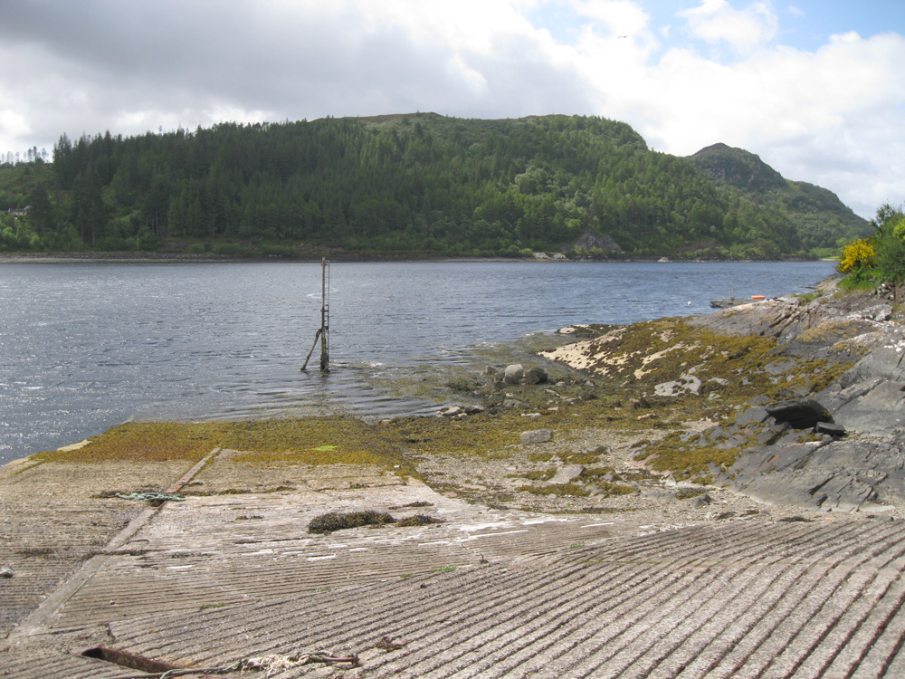
Stromeferry North
Latitude: 57° 21'N
Longitude: 05° 34'W
Country: Scotland
Ownership: Highland Council
Type: Municipal
Usage: Fishing
Contact name: Mr Neil Simpson, Marine Superintendent
Telephone no: 015571 844806
About Stromeferry North
Stromeferry lies near the mouth of Loch Carron.The Strome Ferry, which used to transport vehicles across Loch Carron, was a well-known traffic bottle-neck. It no longer exists, as a road (the A890) was constructed in 1969 along the east coast of Loch Carron.
The slipway is still used occasionally by local fishermen.
Return to Area Map