
Berriedale
Latitude: 58° 10'N
Longitude: 03° 30'W
Country: Scotland
Type: Private
Usage: Fishing
About Berriedale
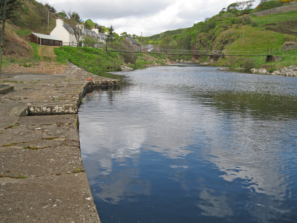
A very narrow, but deep entrance to the harbour leads to a small quay, now disused except for the occasional fishing craft. The quay is only accessible at high water and rocks lie in wait for the unwary.Old fishing houses line the shore and nets are still hung out to dry.
Return to Area Map