
West Loch Tarbert (Argyll)
Latitude: 55° 49'N
Longitude: 05° 26'W
Country: Scotland
Ownership: Argyll and Bute Council
Type: Municipal
Usage: Leisure, Fishing
Contact name: Stephen Scally, Harbourmaster (based at Campbeltown)
Telephone no: 01586 552552
E-mail: stephen.scally@argyll-bute.gov.uk
About West Loch Tarbert (Argyll)
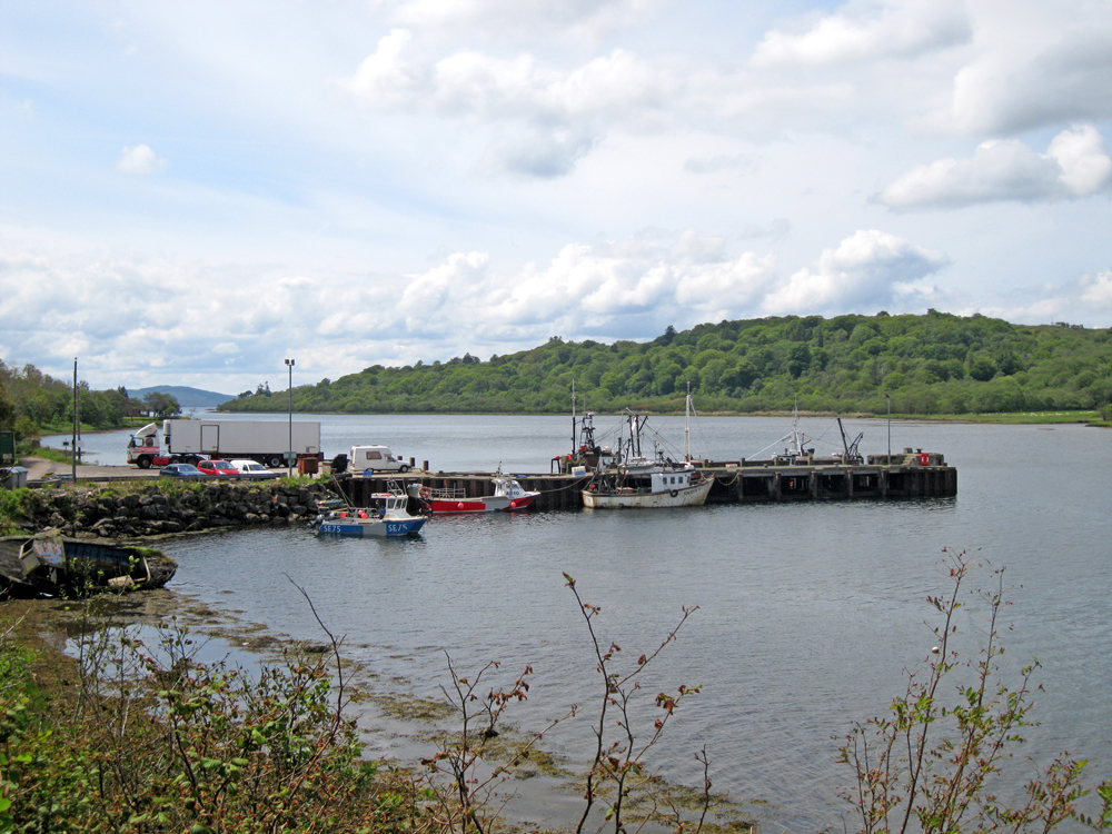
The sea loch of West Loch Tarbert lies on the western coast of the Kintyre Peninsula, running northeast from Ardpatrick Point to the settlement of West Tarbert. An isthmus, only a mile in width, separates West Loch Tarbert from East Loch Tarbert on the eastern coast. It was here in 1098 that, according to legend, Magnus Barelegs, son of King Olaf of Norway, had his men drag his ship across the isthmus and thereby claim Kintyre was an island and therefore a Viking possession.The pier has seen better days, but it is still used by various types and sizes of fishing vessels. It was formerly the starting point for the ferries to Islay and Colonsay, but was replaced in recent years by the new ro/ro terminal at Kennacraig.
Return to Area Map