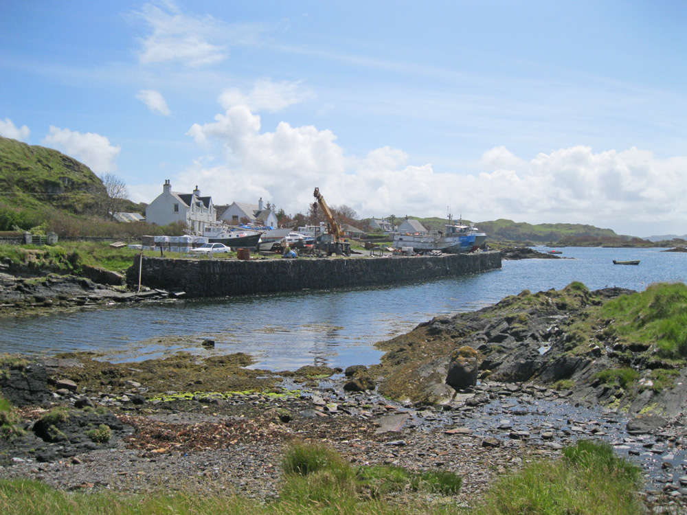
Cullipool (Luing)
Latitude: 56° 15'N
Longitude: 05° 38'W
Country: Scotland
Type: Unknown
Usage: Fishing
About Cullipool (Luing)
Believed to have been built in the 1820s for the slate-quarrying industry, the quay is a Category B listed building. Slattes were formerly transported to the quay from the north of the island by tramway.Slate was still being extracted from the quarries at the north end of Cullipool until 1965. At its height the industry employed 170 men on the island and extracted three quarters of a million slates each year.
Luing’s main industry, based on Cullipool, is now lobster fishing.
Return to Area Map


