
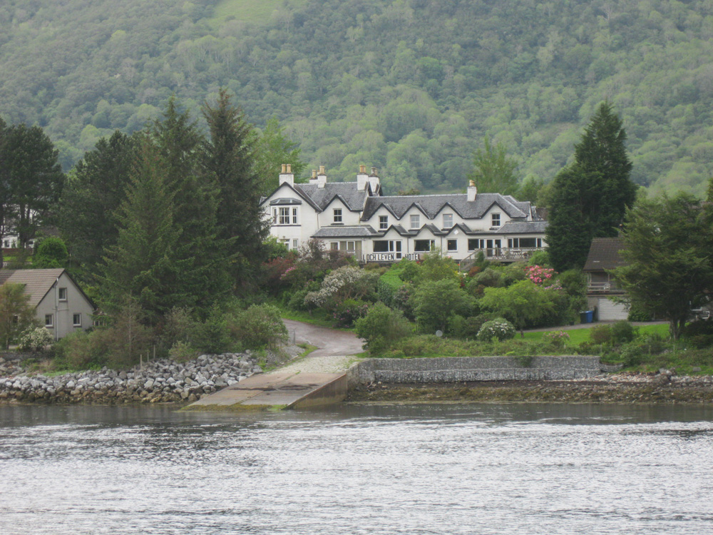
Ballachulish Ferry
Latitude: 56° 41'N
Longitude: 05° 11'W
Country: Scotland
About Ballachulish Ferry
The Ballachulish Ferry, across the mouth of Loch Leven, closed in 1975 when the road bridge was constructed. Two slipways remain on either side of the loch.Return to Former Harbours Map