
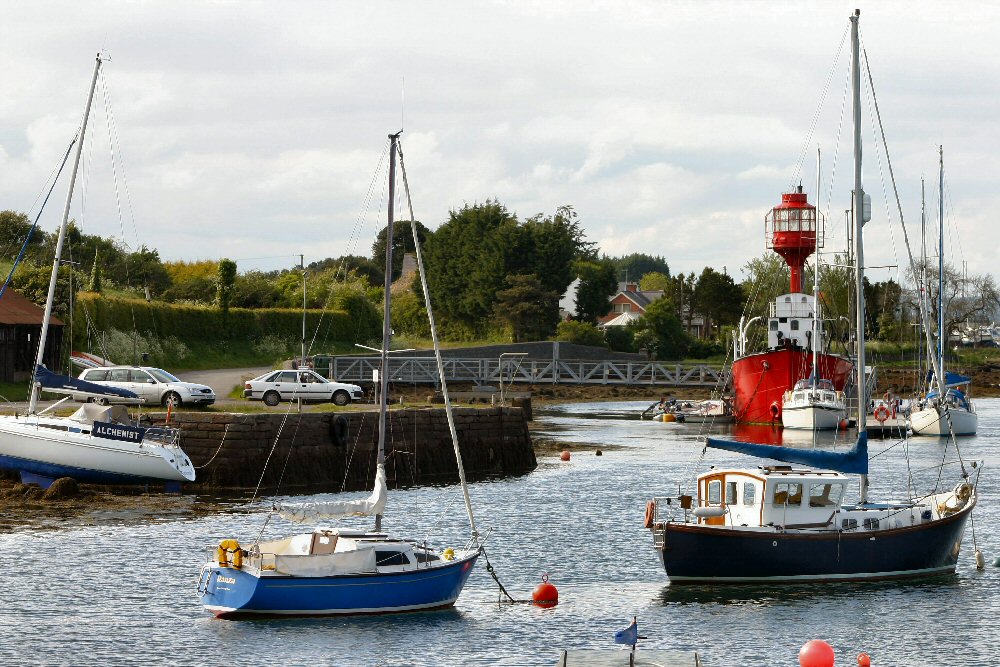
Ballydorn
Latitude: 54° 29'N
Longitude: 05° 39'W
Country: N. Ireland
Type: Private
Usage: Leisure
About Ballydorn
The quay was formerly used for coal imports, but its current usage is restricted to leisure purposes, with the adjacent lightship acting as the headquarters for the Down Cruising Club.Return to Area Map