
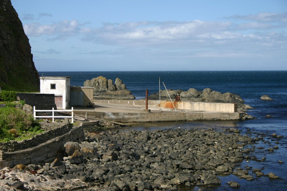
Portbradden
Latitude: 55° 13'N
Longitude: 06° 23'W
Country: N. Ireland
Ownership: Moyle District Council
Type: Municipal
Usage: Fishing
Telephone no: 028 2076 2225
About Portbradden
Portbradden is located under the cliff at the western end of Whitepark Bay. The name means 'port of the Salmon' and the Salmon fishery still exists.Return to Area Map