
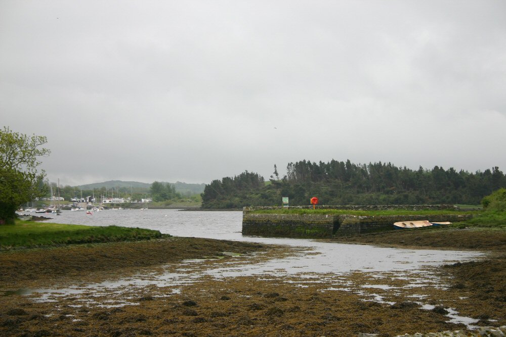
Nullagh
Latitude: 54° 23'N
Longitude: 05° 38'W
Country: N. Ireland
Ownership: The National Trust
Type: Private
Usage: Leisure, Fishing
About Nullagh
Nullagh Quay used to be part of the Delamont Estate. It is used during the summer months when boat trips arrive from Strangford and Portaferry. At other times leisure and fishing craft use the quay, which is accessible at most states of the tide. Access to the quay is via the A22, two miles south-west of Killyleagh.Return to Area Map