
Image © Gina Mear
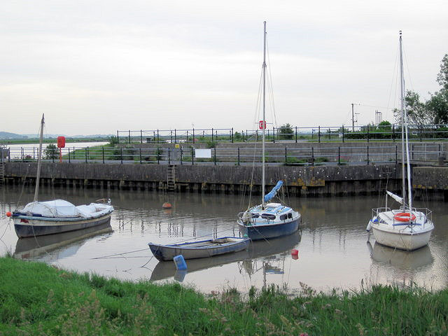
Combwich
Latitude: 51° 10'N
Longitude: 03° 04'W
Country: England
Type: Unknown
Usage: Leisure
About Combwich
The village lies on Combwich Reach as the River Parrett flows to the sea and was the site of an ancient ferry crossing. In the Domesday book it was known as Comich which means 'the settlement by the water' from the Old English 'cumb' and 'wic'. It was here, or in the immediate vicinity, that Hubba, the Danish raider, was defeated and killed by Earl Oddune of Devon in 878.It served as a port for the export of local produce and the import of timber from the 15th century. It also served the local brick and coal yard until the creek silted up in the 1930s. Brick and tile making was first recorded in the village in 1842.
It is now used exclusively by leisure craft, but is subject to a large tidal range. A roll on/roll off quay built in 1952 in connection with the nearby Hinkley Point Power Station is still in use, although ships seldom visit. The area is now used by Combwich Boat Club.
Return to Area Map