
Achuvoldrach
Latitude: 58° 30'N
Longitude: 04° 27'W
Country: Scotland
About Achuvoldrach
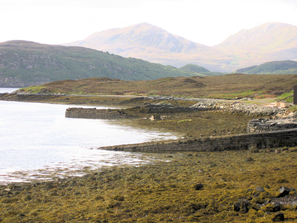
From 1841 until 1952 a passenger ferry was operated from one of these two jetties by the Munro family, across to the village of Tongue. The last ferryman was Alec Munro. The bridge and causeway were built across the Kyle of Tongue in 1971 and the former ferry quay at Achuvoldrach is now in a ruinous state.The causeway crosses the low-lying Tongue Island (Eilean Thunga) and includes a 183m bridge over the channel at its western end. The 10-mile loop road around the Kyle was built in the 1890s.
Return to Former Harbours Map