
Ulverston
Latitude: 54° 11'N
Longitude: 03° 03'W
Country: England
Website: http://en.wikipedia.org/w...ston_Canal
About Ulverston
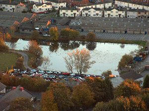
By the eighteenth-century Ulverston had become an iron ore port where up to one hundred and fifty ships involved in the coastal trade were based. The opening of the Ulverston Canal in 1796 was instrumental in the town's expansion. The one and a half mile long (2.4km) canal handled 94 ships with a tonnage of 4,700 tons in its first year; at its peak in 1846 a total of 946 ships with a tonnage of 61,000 tons used the canal. The development of the port of Liverpool drew many of these ships away.Return to Former Harbours Map